Find a stop on the map
Fox Glacier facts: size, retreat and what is changing
Fast answer
Fox Glacier is fed by four alpine glaciers, ends five kilometres from the village and, say scientists, has retreated markedly.
Glacier facts
See 10 route stops
Fox Glacier area, pin by pin
Select a route, then press a pin or stop to read its note and open Google Maps.
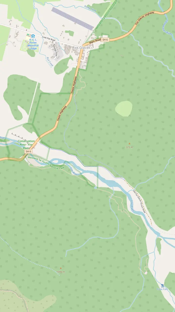
The car park is 2 km south of the township, over the Fox River bridge, and toilets are in the township.
Google MapsFrom the old car park the track drops for about 10 minutes to this viewpoint, and DOC says to go no further because of extreme flood hazard.
Google MapsThe terminal face of the glacier is five kilometres from the village.
Google Maps
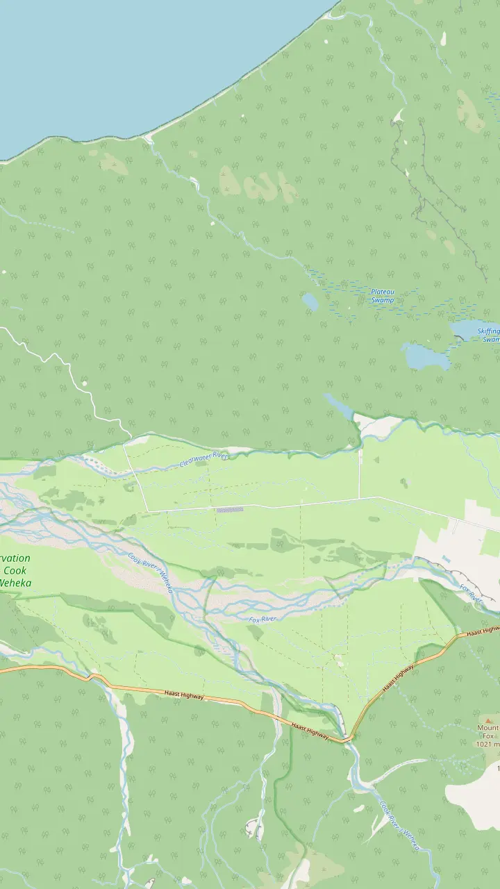
The first section of the Lake Matheson walk, up to the jetty, is 40 minutes return.
Google MapsGlacier Country calls the Matheson Cafe a breakfast, lunch or dinner stop not to miss.
Google MapsA Tohu Whenua site with panoramic views of the Southern Alps and a great vantage for Fox Glacier.
Google Maps
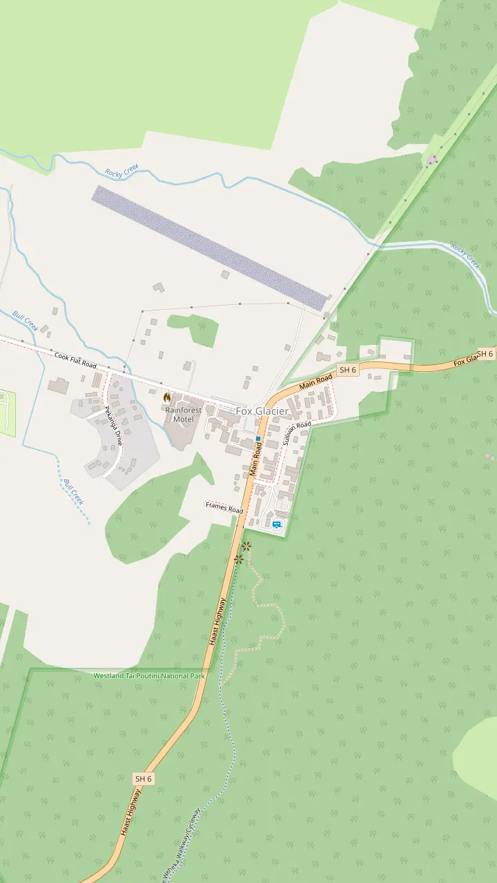
Every Fox Glacier Guiding trip departs from its building on the Main Road, with a large car park to the north.
Google MapsOpen seven days a week with 24-hour fuel available year round, plus a convenience store.
Google MapsA cafe on the main street of the village.
Google MapsOpened in 1928 and restored in 2007, with the glacier car park three kilometres away.
Google Maps
Map © OpenStreetMap contributors
Fox Glacier facts from official sources: it is fed by four alpine glaciers and ends five kilometres from the village. Here is how scientists track its retreat and what it means for a visit.
Editorial team, foxglacierhelihike.top · Updated November 6, 2026 · A 6 min read
The essentials
- Where it endsThe terminal face is five kilometres from Fox Glacier village.1
- What feeds itFour alpine glaciers feed it, and it is longer and faster moving than Franz Josef.1
- Is it retreatingYes: scientists on the 2023 survey said Fox and Franz Josef have retreated markedly.2
- On footThe first viewpoint on the south side track is about 40 minutes from the car park.3
- On the iceThe ice is there all year, but specific ice features come and go quickly.4
The glacier in plain facts
Fox Glacier / Te Moeka o Tuawe is the name of both the glacier and the nearby village.5 Glacier Country, the regional tourism group, says it is fed by four alpine glaciers, is longer and faster moving than the Franz Josef Glacier, and has a terminal face five kilometres from the village.1 The same body calls both glaciers the most accessible rivers of ice in the world, plunging through rainforest almost to sea level.6
People often ask how big is Fox Glacier, and the honest answer is that the official pages used here give distances, not one length or area, so this page does not quote a total. What they do give is useful. Franz Josef Glacier, for comparison, is six kilometres from the centre of its own village and descends from the tops of the Southern Alps into rainforest close to sea level.7
The ice moves. A helicopter operator that flies both glaciers says the Fox sits unusually close to both an ocean and a rain forest, and that its ice flows at up to 3 metres per day in places.8 That speed is one reason ice features come and go so quickly, and why a guide who walked a route yesterday may need to cut a new one today.
Ways to meet the ice
Valley viewpoint, flight and lookout compared
| Option | What you get | Time or distance |
|---|---|---|
| South side track | Glacier viewpoints | About 40 minutes to the first3 |
| Old car park spur | A closer viewpoint | About 10 minutes downhill21 |
| Te Kopikopiko lookout | Alps panorama | Tohu Whenua site22 |
| Heli hike | Standing on the ice | Up to 3 hours on the ice23 |
| Village viewpoint | Glacier from town | Terminal face 5 km away1 |
Times are the Department of Conservation's and the operator's figures; walking pace and closures change them.
A name, a park and a World Heritage setting
The Department of Conservation records that the glacier holds added significance for local Maori as the moeka, the final resting place, of their ancestor Tuawe.16 That is the origin of the name Te Moeka o Tuawe, and it is a good reason to follow the marked track and the signs on the valley walk with care.
The glacier sits inside Westland Tai Poutini National Park, which Glacier Country describes as one of the last remaining places in the world with complete mountains-to-the-sea landscapes.17 The park forms part of Te Wahipounamu South West New Zealand, a UNESCO World Heritage Area.18
For a visitor the setting is the point. The valley is a living lesson in how ice shapes land, and the moraine ridges, gravel banks and streams along the walk are all the glacier's own work. Take the time to read them, and the glacier stops being a distant white shape and becomes the reason for everything you can see around the village.
Distances
How far the ice sits from the village, in kilometres
How scientists watch it retreat
Since the 1970s the national science agency NIWA, now part of Earth Sciences New Zealand, has flown over the Southern Alps each year for its end of summer snowline survey.12 The 2023 flight was the 46th, a collaboration between NIWA, Victoria University of Wellington and the Department of Conservation, and it photographed over 50 Southern Alps glaciers.13 Some of the photographs are used to build 3D models that track changes in ice volume.26
So is Fox Glacier retreating? The scientists say yes. Professor Andrew Mackintosh said in 2023 that iconic glaciers such as Fox and Franz Josef have retreated markedly, and that the scale of retreat is confronting, even to a glaciologist.2 NIWA scientist Andrew Lorrey added that the snowline has been rising, and that in recent years the rise is accelerating.27
The picture is not a straight line downward every year. A later release said that half a century after the first aerial survey, late snow and a variable summer gave a temporary reprieve from rapid ice loss.14 Dr Lorrey called it a stay of execution and not a reversal in the long-term decline of ice coverage.15 Earth Sciences NZ adds that every year in the past decade was among the warmest.28
Pick your view
How close do you want to get?
Choose the line nearest your plan, and the answer sits beside it
If I want a free look at the glacier
Walk the south side track
The first viewpoint is about 40 minutes from the car park.3
If I want to touch the ice
Book a guided flight
Valley viewpoints are hundreds of metres from the face; the heli hike lands on the ice.24,23
If I worry the glacier will be gone
Know what is guaranteed
The ice is there all year, but specific features come and go.25,4
If I have a bike with me
Cycle to the old car park
Bikes can go as far as the old car park, then everyone walks.3
If I only have a short stop
Take the lookout
Te Kopikopiko o te Waka is a Tohu Whenua viewpoint with Alps views.22
What the valley forest shows
For Fox Glacier before and after, the valley itself is the best record. The Department of Conservation says the south side track crosses ancient glacial moraine surfaces, and that the forest reflects the various ages of the moraines it has colonised.39 Older, taller forest stands where ice retreated long ago, younger growth where it left more recently. You are walking down a timeline of where the glacier used to end.
The paintings tell the same story from further back. NIWA worked with an art historian on 19th century paintings by John Gully, which captured ice retreat already underway in the mid-1800s.9 Comparing those pictures with current photographs shows the scale of ice loss since then. A visitor can run a smaller version of the same experiment by comparing today's view with an old postcard at the village.
Today the glacier is hundreds of metres from the viewpoints. The Department of Conservation states that the glacier viewpoints on the south side track are hundreds of metres from the face of the glacier.24 The track can be closed by rock falls or flooded rivers, so check the daily glacier access update before you set out, and treat a closed track as a normal part of a living valley.
Dates worth knowing
From the first paintings to the latest survey
Mid-1800s
Paintings record retreat
Paintings by John Gully captured ice retreat already underway.9
1928
Guided trips begin
The Fox Hotel first offered guided trips onto the glacier.10
1970
Snow landings pioneered
Glacier Helicopters says it pioneered snow landings in New Zealand.11
Since the 1970s
Annual snowline flights
NIWA flies each year to photograph the Southern Alps glaciers.12
2023
The 46th survey
The survey photographed over 50 glaciers and found Fox retreating markedly.13,2
Latest survey
A reprieve, not a reversal
Late snow slowed the loss, but ice coverage still declines in the long term.14,15
What it means for a heli hike
Fox Glacier Guiding says the glacier is there all year because snow falls on its top, in an area known as the Neve, throughout the year and feeds the river of ice.25 The operator guarantees that ice is present, but not any specific ice feature, since features come and go very quickly as the glacier moves while new ones form constantly.4 That is the practical meaning of retreat for a visitor: the ice is real, the details are never fixed.
Dr Lorrey said tourism operators are having to penetrate further and further into the mountains to reach New Zealand glaciers.40 On Fox Glacier that is one reason a helicopter is the standard way onto the ice. Guiding itself has a long history here: it came alive in 1928, when the Fox Hotel first offered guided trips onto the glacier,10 and Glacier Helicopters says it pioneered snow landings in New Zealand in 1970.11
On a heli hike, weather permitting, ice time is up to 3 hours, and the operator gives no guarantee that specific features will be seen.23 The terminal face is far down the valley and out of reach on foot, so a flight is the only way to be standing on the ice itself. Come with the idea of seeing a glacier at work, not a monument, and the retreat becomes part of the story.
Video
The glacier you may never see: West Coast ice in retreat
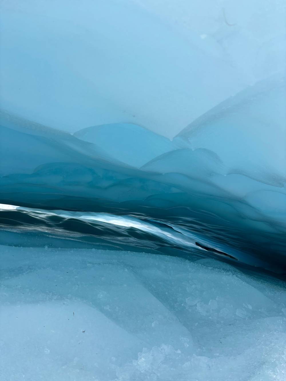
Just Wojtek on YouTube · Video data is requested only when you tap play.
Iconic glaciers such as Fox and Franz Josef have retreated markedly. The scale of retreat is confronting, even to a glaciologist.
On the valley track
Rules that keep the walk safe
Seeing it safely from the valley
The south side walkway follows the Fox River through ancient podocarp rainforest. The car park is 2 km south of the township, across the Fox River bridge.19 The first glacier viewpoint comes after approximately 40 minutes, and bikes must be left at the old car park before continuing on foot.3 Toilets are available in the township.29
From the old car park the track descends for approximately 10 minutes to a viewpoint, and the Department of Conservation says not to go past it because of extreme flood hazard.21 It also warns that glacial rivers can be dammed by ice falls, and that the dam could burst and create a huge surge of water and ice that floods the valley.38 Barriers and signs here are not suggestions.
For the closest look, join a guided flight. For an easy alternative, the Te Kopikopiko o te Waka viewpoint is a Tohu Whenua site with panoramic views of the Southern Alps and a great vantage for Fox Glacier.22 The map above pins the car park, the end of the track and the village, so you can place each viewpoint before you drive out.
FAQ
Quick questions get quick answers.
How far is Fox Glacier from the village?
Glacier Country says the terminal face of the glacier is five kilometres from the village.1
What does Te Moeka o Tuawe mean?
The Department of Conservation says the glacier is the moeka, the final resting place, of the Maori ancestor Tuawe.16
Is the glacier there all year?
How often is the glacier surveyed?
Can I walk right up to the ice?
How long is the walk to the first viewpoint?
The first glacier viewpoint on the south side track is reached after approximately 40 minutes.3
Is the south side track always open?
DOC says it can be closed by rock falls or flooded rivers, and publishes a daily glacier access update.24
Sources
- Glacier Country Tourism Group (regional tourism organisation) · Fox Glacier and Lake Matheson ↩
- Earth Sciences New Zealand (NIWA) · Further ice loss for NZ glaciers ↩
- Department of Conservation (doc.govt.nz) · Fox Glacier South Side Walkway/Cycleway ↩
- Fox Glacier Guiding (operator official site) · FAQs ↩
- Glacier Country Tourism Group (regional tourism organisation) · Fox Glacier and Lake Matheson ↩
- Glacier Country Tourism Group (regional tourism organisation) · Glacier Country home ↩
- Glacier Country Tourism Group (regional tourism organisation) · Glacier Country home ↩
- Glacier Helicopters (operator official site) · Fox Glacier ↩
- Earth Sciences New Zealand (NIWA) · Many New Zealand glaciers are headed for extinction ↩
- Fox Glacier Guiding (operator official site) · Our story ↩
- Glacier Country Tourism Group (regional tourism organisation) · Glacier experiences ↩
- Earth Sciences New Zealand (NIWA) · Snowline survey reveals continued shrinkage of NZ glaciers ↩
- Earth Sciences New Zealand (NIWA) · Further ice loss for NZ glaciers ↩
- Earth Sciences New Zealand (NIWA) · Fifty years of observations, no reversal of glacier climate damage ↩
- Earth Sciences New Zealand (NIWA) · Fifty years of observations, no reversal of glacier climate damage ↩
- Department of Conservation (doc.govt.nz) · Fox Glacier South Side Walkway/Cycleway ↩
- Glacier Country Tourism Group (regional tourism organisation) · Westland Tai Poutini National Park ↩
- Glacier Country Tourism Group (regional tourism organisation) · Westland Tai Poutini National Park ↩
- Department of Conservation (doc.govt.nz) · Fox Glacier South Side Walkway/Cycleway ↩
- Glacier Country Tourism Group (regional tourism organisation) · Hotels ↩
- Department of Conservation (doc.govt.nz) · Fox Glacier South Side Walkway/Cycleway ↩
- Glacier Country Tourism Group (regional tourism organisation) · Westland Tai Poutini National Park ↩
- Fox Glacier Guiding (operator official site) · Flying Fox Heli Hike ↩
- Department of Conservation (doc.govt.nz) · Fox Glacier South Side Walkway/Cycleway ↩
- Fox Glacier Guiding (operator official site) · FAQs ↩
- Earth Sciences New Zealand (NIWA) · Fifty years of observations, no reversal of glacier climate damage ↩
- Earth Sciences New Zealand (NIWA) · Snowline survey reveals continued shrinkage of NZ glaciers ↩
- Earth Sciences New Zealand (NIWA) · Fifty years of observations, no reversal of glacier climate damage ↩
- Department of Conservation (doc.govt.nz) · Fox Glacier South Side Walkway/Cycleway ↩
- Glacier Country Tourism Group (regional tourism organisation) · The best family friendly walks in Fox Glacier
- Glacier Country Tourism Group (regional tourism organisation) · Eat and drink
- Fox Glacier Guiding (operator official site) · FAQs
- Fox Glacier Guiding (operator official site) · FAQs
- Glacier Country Tourism Group (regional tourism organisation) · Visitor travel information
- Glacier Country Tourism Group (regional tourism organisation) · Galleries, shops and services
- Glacier Country Tourism Group (regional tourism organisation) · Eat and drink
- Glacier Country Tourism Group (regional tourism organisation) · Hotels
- Department of Conservation (doc.govt.nz) · Fox Glacier South Side Walkway/Cycleway ↩
- Department of Conservation (doc.govt.nz) · Fox Glacier South Side Walkway/Cycleway ↩
- Earth Sciences New Zealand (NIWA) · Snowline survey reveals continued shrinkage of NZ glaciers ↩
Next read